By Michael Byers
How many Americans realize that one of their country’s most pristine maritime areas is threatened by the unregulated passage of more than 5,000 tankers and cargo ships each year?
Since the Earth is a sphere, the shortest shipping route from the Northwest United States and Western Canada to China, Japan, and South Korea passes through Alaska’s Aleutian Islands chain at a narrow strait called Unimak Pass. Unimak Pass is just nine nautical miles wide. More than 5,000 ships already use it each year, many of them large container and bulk-cargo vessels.

A map of Alaska highlighting Unimak Pass.
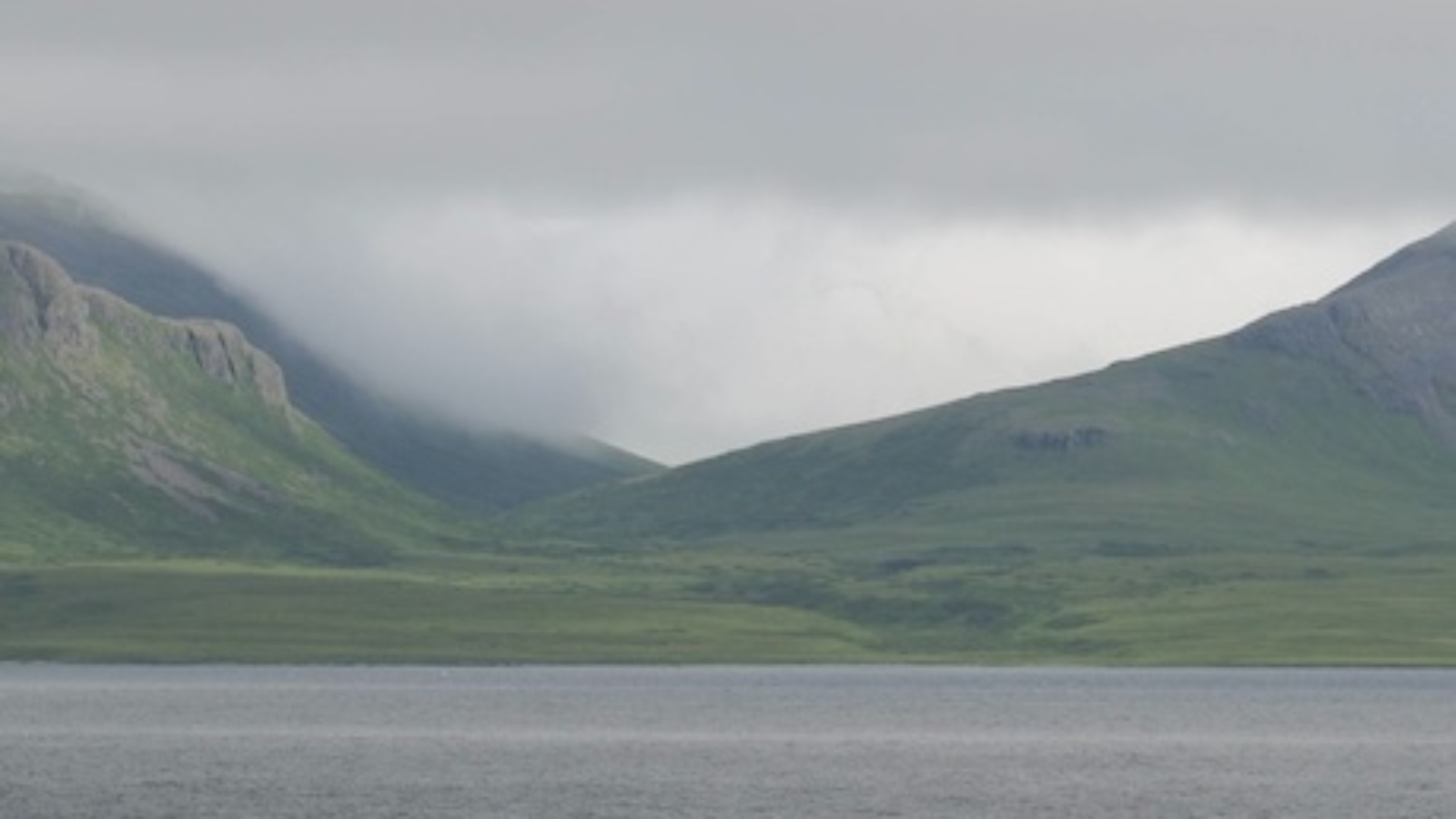
The tidal mixing of cold nutrient-rich waters in and around Unimak Pass supports a wealth of plankton, the basis of a rich food chain. The area is part of the Alaska Maritime National Wildlife Refuge, which is home to 40 million seabirds. It is also home to an abundance of marine mammals, including endangered Steller sea lions, northern fur seals, sea otters, and a variety of whale species. This ecosystem has considerable economical value. The Bering Sea just north of Unimak Pass supports the largest commercial fishery in the United States, worth $2 billion annually.
Severe weather and sea conditions are common in Unimak Pass, along with powerful tidal flows. In December 2004, the Selendang Ayu, a 225 meter-long Malaysian cargo ship, had just cleared the pass when it lost power in a storm. The vessel was blown aground and broke apart, spilling 1.2 million liters of fuel oil. Almost none of the oil was recovered due to the remote location, bad weather, and the near-complete absence of oil spill clean-up equipment and personnel in the Aleutians. Complicating matters, the United States has long accepted that Unimak Pass is an international strait that foreign vessels can enter without permission or regulatory restriction. As a result, there are also no shipping lanes, or notification, or pilotage requirements.
Two decades after the Exxon Valdez spilled more than 80 million liters of oil into Prince William Sound, a new threat looms over Unimak Pass – in the form of heavy oil exports from Canada to China. Two pipeline companies plan to dilute tar-like bitumen from Alberta with natural gas condensate so that it can be pumped west to the coast of British Columbia and shipped onward in tankers. In 2012, U.S. Coast Guard Commandant Admiral Robert Papp described Unimak Pass as a “key choke point” when explaining the United States’ marine-security challenges to a Senate sub-committee: “There are literally thousands of ships that transit through there, carrying fuel and other things that were at risk for environmental disasters, sinkings, and other things.”
There are a few actions the U.S. government could take. It could station a large rescue tug and several oil spill clean-up vessels at nearby Dutch Harbor. It could ask the International Maritime Organization to designate Unimak Pass as a ‘particularly sensitive sea area,’ which would enable the United States to require advance notification of passage and adherence to vessel traffic separation rules. It could seek to persuade shipping companies to voluntarily route oil tankers south of the Aleutians, though this would increase both distance and cost. In the end, however, none of these steps is likely to prevent hundreds of oil tankers from transiting Unimak Pass each year.
A more meaningful step would be for the United States to rethink its position on international straits, where historically it has pressed for maximum freedom of navigation, and to work with countries such as Canada and Russia to strengthen multilateral standards and coastal state powers.
Admiral Papp, who is now Secretary of State John Kerry’s Special Representative for the Arctic, is perfectly positioned to make this happen. Let’s save the Alaska Maritime National Wildlife Refuge – before it’s too late.
*****
*****
Michael Byers holds the Canada Research Chair in Global Politics and International Law at the University of British Columbia. This article is excerpted from his book, International Law and the Arctic (Cambridge University Press, 2013).
[Photo courtesy of Ash, Alaskan map image modified with permission from Wikimedia Commons]
